Let’s Surf Together: City of Nosara, Costa Rica

This is the final week of the Cartography class in GIS certificate course. I wish I had a field trip before creating this map. Field trip is important… This is a very cool surfing town near Pacific Ocean. Nosara, Costa Rica. Nosara is a popular place for surfers and also there are lots of activities […]

Read More

The First Map: Created with Adobe Illustrator

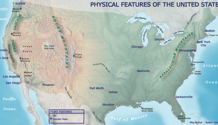
Hello everyone! This was the day we created our first map in the class. Fortyfour (44) labels and twenty (20) point symbols were placed on the US map. It seems, that was an easy study, as looking at the final output, which was clearly not. I can say,  this map is not so bad for […]

Read More

Our First Map with Real Data

Hello everyone. I have been dealing with ArcGIS for three days. Actually a very simple map took my three days. Of course there are reasons. For example this is my first map and I have not used ArcGIS before this course, plus, I had to find and decide what data to use. While creating the […]

Read More

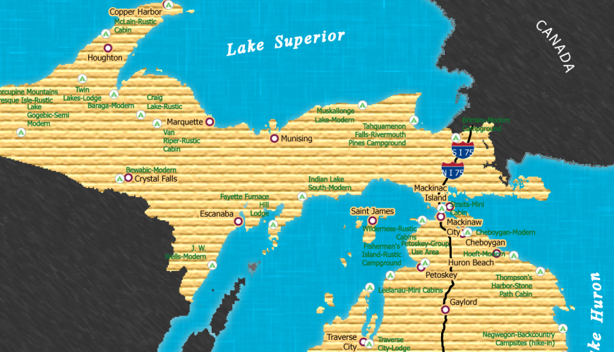
Michigan Great Lakes Area Campgrounds

My computer shut down several times, my Adobe Illustrator did not open the AIX file format but after 2 hours of working and searching some online blogs I found the solution. Thanks to the guys on the blogs. For this weeks’s practice, we exported an ArcGIS layout for Adobe Illustrator and made some extra edits […]

Read More